Laser Cut Map
- Project Type
- Laser Cutting
- Year
- 2023
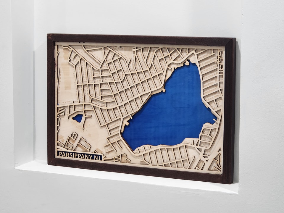
A layered plywood map of my hometown cut on a laser. Roads, buildings, and water sit on separate layers, with the base painted blue for lakes and ponds.
01
My hometown, one layer at a time
This is a map of my hometown, Parsippany, New Jersey, cut from plywood on a laser. Instead of one flat sheet, I split the town into layers: the roads sit on one, the buildings on another, and the water on the base. I painted the base blue, so the lakes and ponds show up wherever the land above is cut away.
The blog post covers how I made it: exporting the streets from OpenStreetMap, separating the layers, a mockup in Fusion 360, and about an hour of laser time.
02
Roads above, water below
Because each layer stacks on the one below it, the map has real depth: the roads stand above the buildings, and the painted water sits lowest of all. I kept the roads and buildings in the natural color of the plywood, so the water is the part that stands out.
03
Framed and finished
A dark wooden frame wraps around the layers and sets off the light wood.